RSLog
Web-based Borehole Log Management
- Site Characterization
- Data Management
- Subsurface Modelling
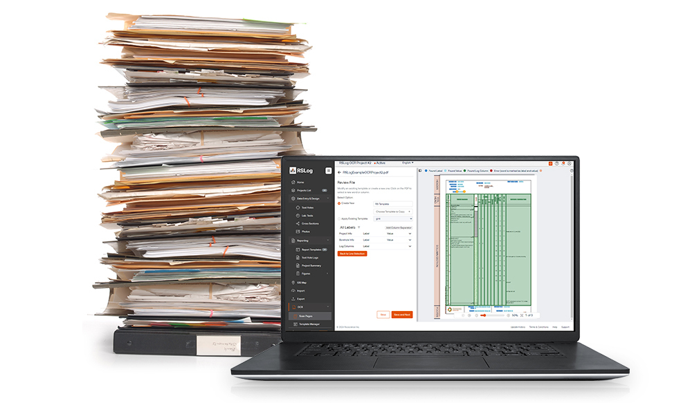
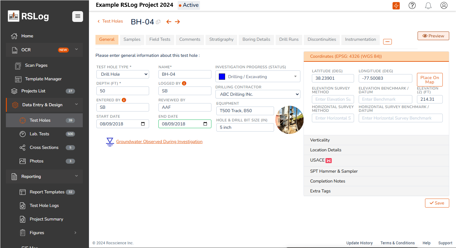
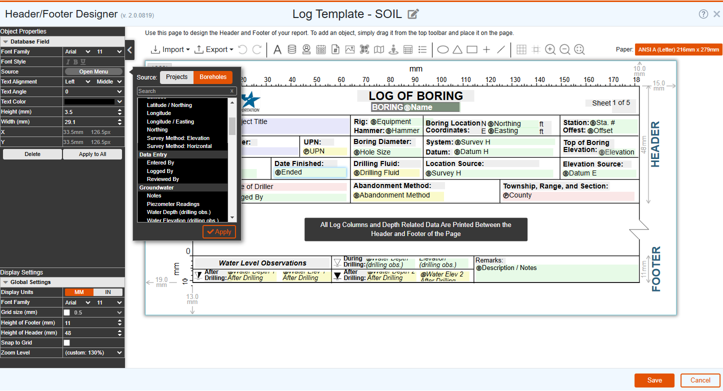
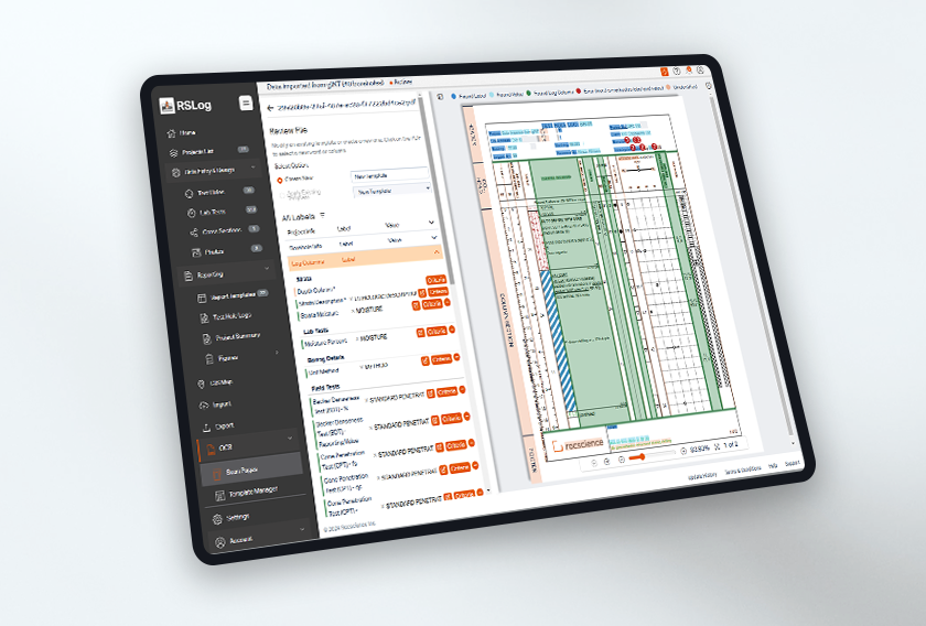
Use RSLog on site and in the office, to collect and store field data (borehole data, sample data, photographs, survey results, etc)

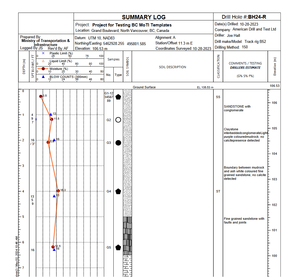
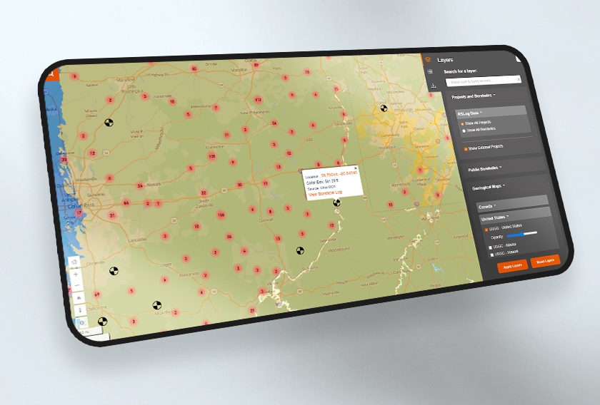
With RSLog, all your projects are always available to you using the online Geographical Information System (GIS) built in to RSLog. Browse the GIS map, find previous projects, load data, and print borehole logs.

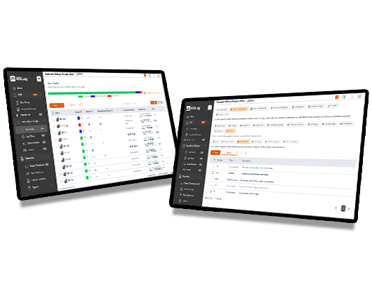
Keep all your subsurface and survey data is in one place. Use RSLog to build your subsurface models, share them with your project engineers, or present them to your clients.


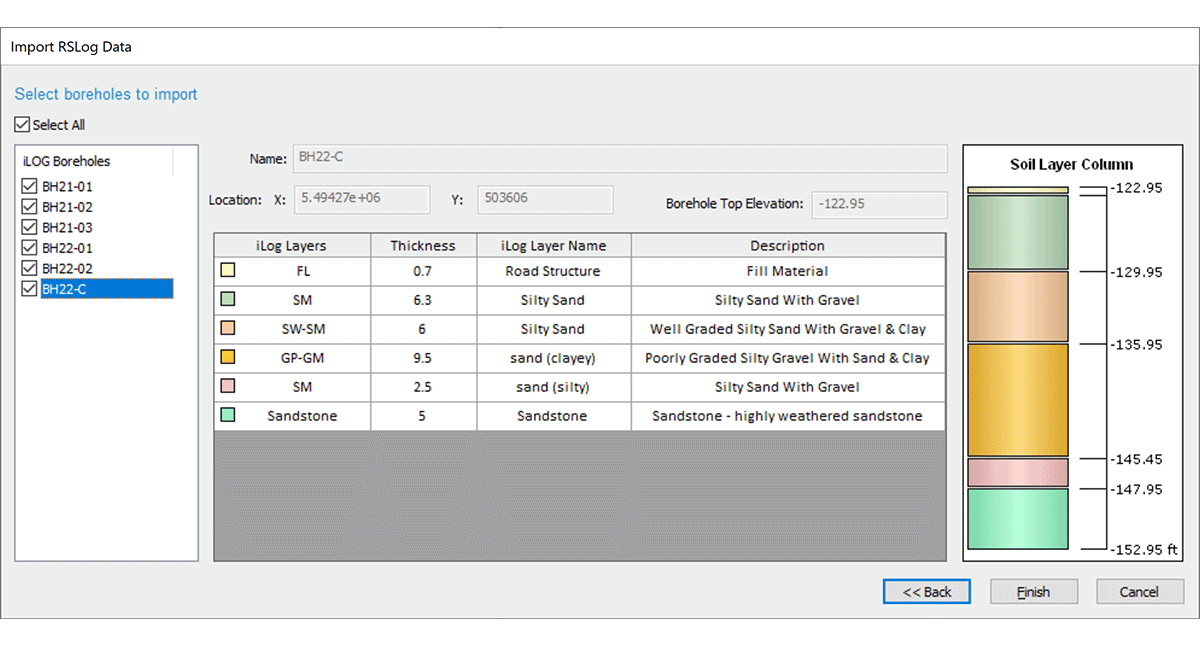
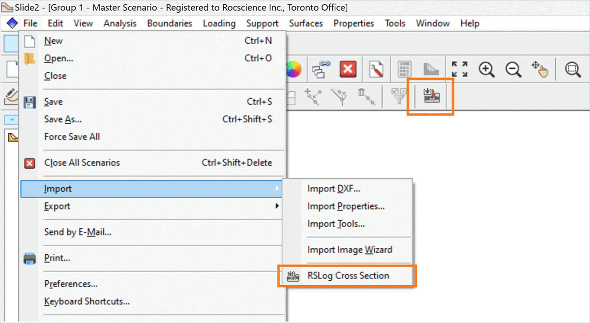
Import borehole data from RSLog directly into Settle3 which can be used to quickly define your soil layers and material properties, without manually inputting data. You can also import field test data (e.g. SPT blow counts) directly from RSLog into your Settle 3 project.

Import borehole data from RSLog directly into Settle3 which can be used to quickly define your soil layers and material properties, without manually inputting data. You can also import field test data (e.g. SPT blow counts) directly from RSLog into your Settle 3 project.
-
Import from CSV
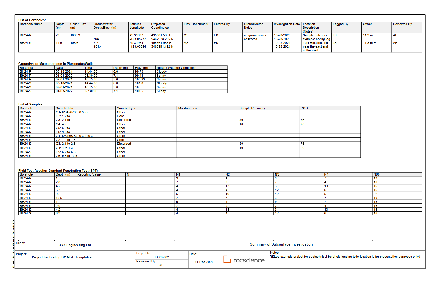
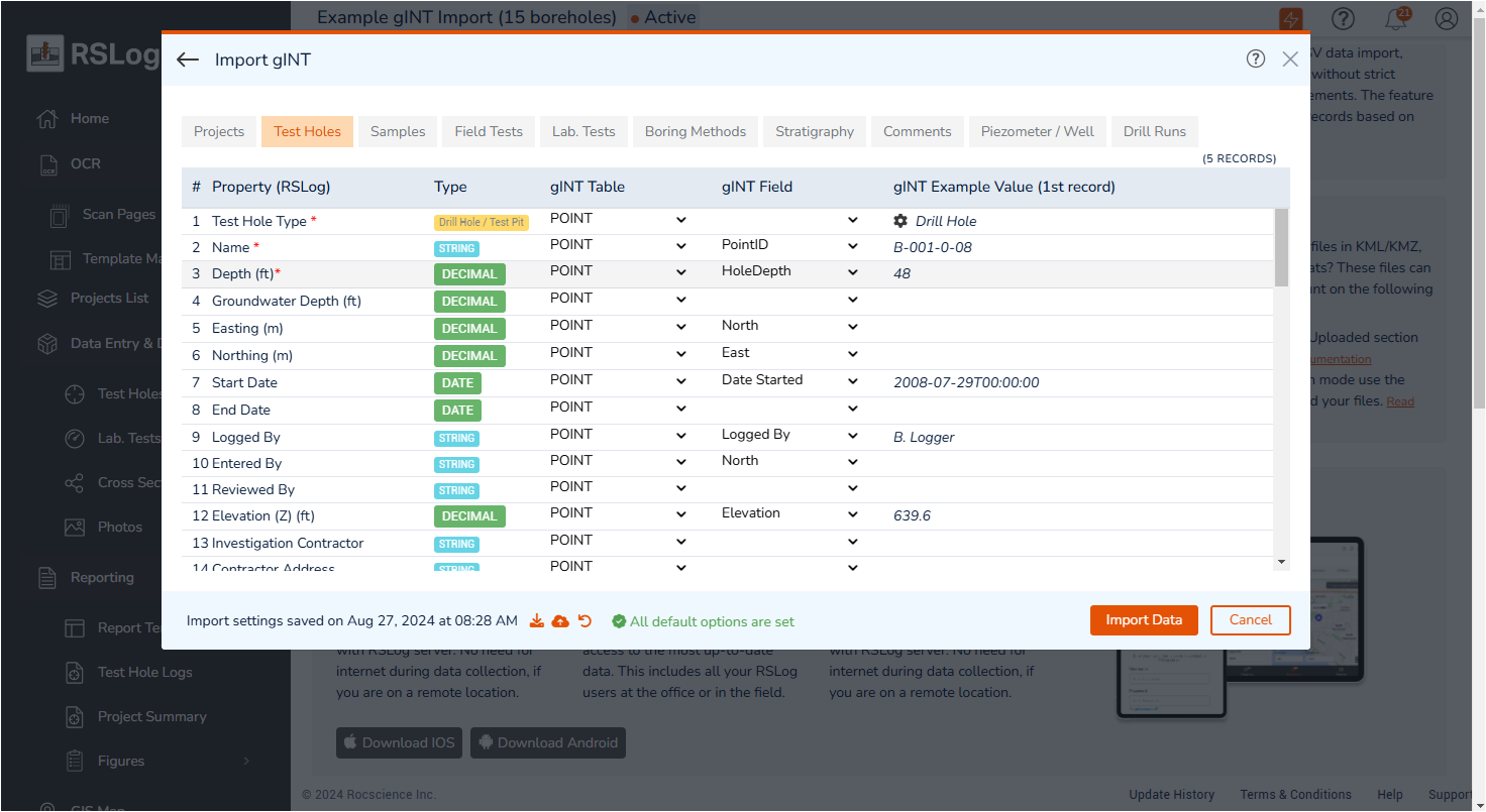
The new CSV importer module allows you to import large datasets in a just a few seconds. This covers field test data, list of samples, groundwater measurements, drill runs, and more.
-
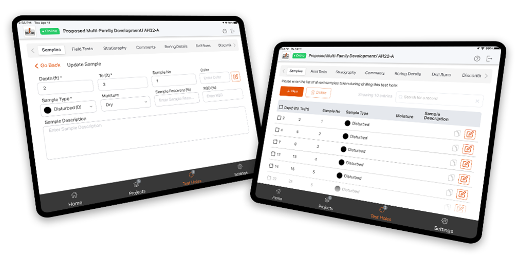
Offline Data Entry
For locations without internet access, you can fill out the downloadable RSLog Excel templates on site and import them into RSLog when you are back online.
-
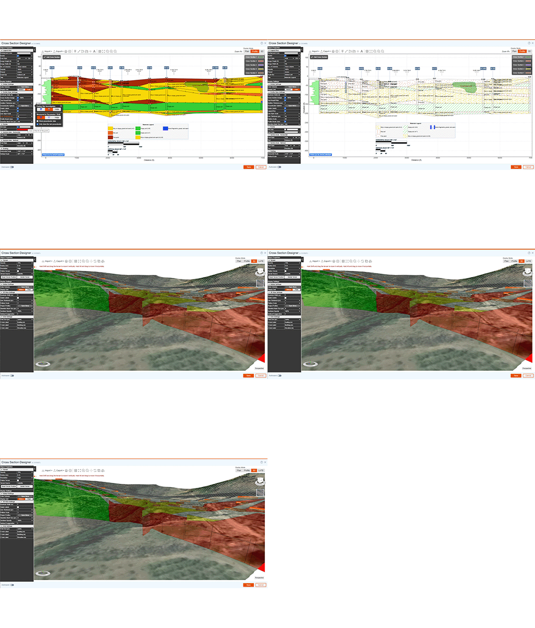
3D Subsurface Modelling
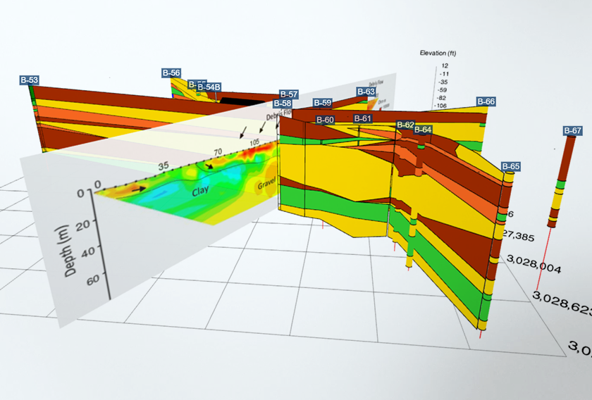
View your subsurface models in 3D. The state-of-the-art cross section designer will automatically convert your 2D cross sections into 3D.


The new CSV importer module allows you to import large datasets in a just a few seconds. This covers field test data, list of samples, groundwater measurements, drill runs, and more.

For locations without internet access, you can fill out the downloadable RSLog Excel templates on site and import them into RSLog when you are back online.

View your subsurface models in 3D. The state-of-the-art cross section designer will automatically convert your 2D cross sections into 3D.
Lease
Ongoing subscription- Maintenance+ subscription
- Ongoing bug fixes
- Continuous new features
- Install on one computer